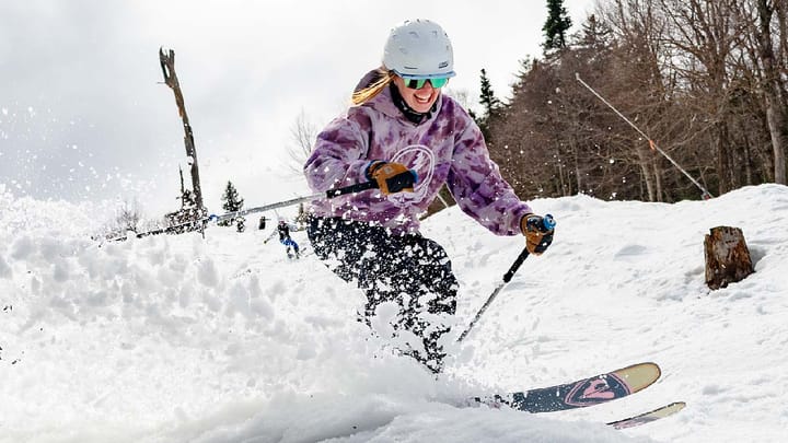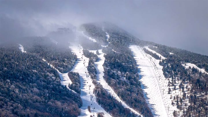
Miracle March just delivered yet again with another over-performance in some areas. This weekend north of the Albany, NY latitude will generally prove to be the best of the entire season with copious amounts of fluffy snow falling on top of multiple large to small storms that have left most of these ski areas bottomless and 100% open! It's frickin' late March! This is probably the best month of skiing and riding in the northern regions since March of 2018 or November 2018 (our first Miracle March and 'Snovember').
I'm going to cover the Saturday Snowfall Reports as of close today, revisit the Wind Hold Forecast for Sunday morning, and then talk about the Temperature Outlook and Sticky Snow for Sunday, Monday, and Tuesday for those who are looking for leftovers. Note, we will see warming and sticky snow in different areas over the next three days. Sticky snow can be worse than skiing in the rain and it's critical to understand.
Saturday Snowfall Reports
Here are some snow totals collected from across the region as of close today, but note that not everyone has reported the full day totals from upper mountain terrain and I've left off those who haven't updated in at least the afternoon:
NEW YORK
Whiteface: 11"
Gore: 12" (2PM report)
Royal: 17"
West: 20"
VERMONT
Bromley: 22"
Magic: 16"
Stratton: 20"
Mount Snow: 11"
Okemo: 19" (webcam estimate)
Killington: 19"
Sugarbush: 17"
Bolton Valley: 14"
Stowe: 9"
Jay Peak: 8"
NEW HAMPSHIRE
Sunapee: 7"
Crotched: 3"
Pat's Peak: 7"
Ragged: 10" (assumed afternoon report)
Gunstock: 10"
Loon: 14"
Waterville Valley: 18"
Cannon: 15"
Bretton Woods: 8"
Attitash: 19"
Wildcat: 18"
MAINE
Sunday River: 14"
Sugarloaf: 8" (noon report)
Pleasant: 16" (evening official report)
Some of these reports did not cover up until close and I left off reports that were not updated since open. Snow as of 4PM was tapering off in NY with 1 to 2 hours of snow left in VT, about 3-4 hours left in NH, and about 4-6 hours left in ME (through Sugarloaf).
I'll do a full postmortem after the final tallies are in. Our forecast performed excellently in NY, N-VT, N-NH, and N-ME, but with the persistent mixing falling 25 miles south of our forecast along with some very heavy morning snow we saw some notable overperformance in S-VT, S-NH, and S-ME. Freezing rain did reach as far north as Bromley, Magic, and Ragged but it was too brief to be impactful and I do not consider that confirmation as I had expected 6-8 hours of mixing in these areas instead of 1. No complaints, I love over-performance and I was purposefully conservative in the area of uncertainty because tolerances are so damn tight it is best to set the floor for expectations instead of the roof because getting skunked is way worse than being surprised on the upside!
The bottom line is that we are likely to see ski areas reporting around 2 feet of snow by Sunday morning across parts of VT, NH, and ME, and parts of NY didn't do too shabby at all!