I swear, every time I say there's a ~25% chance of a storm forming this season it happens! I might be a little conservative in my approach, but storms like the one coming on Friday are uber marginal. We're basically on the fringe of this one. None of the deterministic runs of the medium range models are fully on board, but the mesoscale models are and I'm pretty sure they are onto something that has also been in the ensembles for days.
This however means lower confidence in where and how much snow will fall unfortunately, but with no one really covering this storm and the rain preceding it, there's opportunity for an epic sleeper powder day here! There will however be wind on both Friday and Saturday, and Saturday looks extra spicy in the areas where the heaviest snow is predicted to fall and so that will narrow down the good options especially on Saturday.
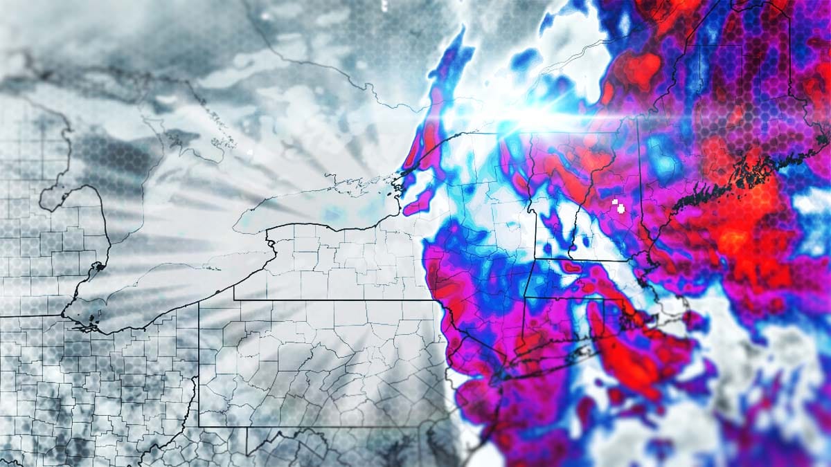
Let's start off with the broad view showing this storm in the GFS from Thursday through Saturday. Note, the deterministic GFS isn't fully on board and it has a warm bias that is more obvious when temps are so marginal so you won't see what is likely the full opportunity here.
Since the heart of this is less than 48 hours away I'm going to put out a snowfall map in this update. I'll cover the Snowfall Forecast, and then the Wind Forecast for both Friday and Saturday. There will be a bonus section also on Pow Hunting Picks to help you navigate around the wind and to the deepest snow!